|
|
Post by Yan Taylor on Aug 21, 2023 7:04:35 GMT -6
Ever wondered why DeRudio was hiding in the timber on his own? He was a Lieutentant with a experience of fighting in Europe, but instead of being in charge of his men, he was hiding on the far side of the timber near the river.
Not calling the man a coward but doesnt it seem rather odd.
Ian
|
|
|
|
Post by johnson1941 on Aug 21, 2023 7:18:46 GMT -6
He explains it at the RCOI.
Another witness said DeR was sent close to the river to the right to guard the horses.
"Probably 10 minutes after we were there, the trumpeter of my company brought up my horse and said, “Lieutenant, here is your horse.” I said, “I don’t want my horse.” I was then standing on the bank of the creek. The man said, “they are going out,” and the men I had with me immediately mounted their horses. I tried to check them but they would not listen to me, but pushed on through. I stopped at the creek, trying to keep the men steady as the last man passed me. I noticed the guidon of the company on the bank of the creek and I told him to go get it before he went out. The man said it was too hot there for him and continued on his way. I thought it was not very hot and went and got the guidon myself. It was not more than 40 feet which I had to go back. I crawled up to the top of the bank and grabbed the guidon and there were 20 or 30 Indians coming, not more than 40 or 50 yards from me, scattering as they saw the head of my horse over the bank. They fired a volley at me. The bullets came whistling about me and I dropped down.
Q. By that time had the command all got out as far as you know?
A. Yes, sir, those that were with me. The woods were thick and dense and I could not see the men very far."
...
A. They came on top of the bank, and when they saw me and fired, I struck across the thick woods and unless you got a path there you cannot get through, it is so thick. When I had got only about half way the Indians got to the place where I took the guidon and fired on me.
Q. That was after the men had left?
A. Yes, sir.
|
|
|
|
Post by herosrest on Aug 21, 2023 7:34:00 GMT -6
Ok he didn't lie - my apologies, He was mistaken. He made a mistake in decribing an event at least 6 other people said happened, in that same location. Got it.  OK, you have six sources corroborating DeRudio. I do not. Change my mind with those sources since six is beyond improbability. I do hope we are not treading Wagner's convoluted paths to destruction. Your six sources please. |
|
|
|
Post by johnson1941 on Aug 21, 2023 7:56:37 GMT -6
Start here... Thompson Black Hill Trails "We soon gained the top of the bluffs where a view of the surrounding country was obtained...
About a half mile further on we came in sight of the Indian village...When the companies came in sight of the village they gave the regular charging yell..."
Goldin in a letter to Brady 1904 "As soon as this was discovered Custer rode over toward the river accompanied only by his orderly trumpeter, and
stopped for a moment on the top of a high pinnacle, where we saw him wave his hat, apparently in salutation to some one in the distance, and then come dashing back toward the head of the column.."
DeRudio RCOI "General Custer, Lieut. Cook and another man I could not recognize came to the highest point of the
bluff and waved their hats and made motions like they were cheering"
Martin After General Custer saw the village with no Indians in it I suppose he
was glad and he pulled off his hat and gave a cheer and said "Courage
boys we will get them and as soon, as we get through we will go back to our station."kanipe “Knipe says that Custer was trotting and galloping along with
companies in column of twos, all 5 companies abreast, the men cheering and
eager for a fight and that after the highest point on the bluffs was reached the men,
through their eagerness, broke into something like disorder, as previously noted."WMRH With Tim McCoy "Custer and his brother went to the right of us and halted on a small hill. His troops were moving forward below him. Custer turned around as he reached the top of the hill and waved his hat, and the soldiers at the bottom of the hill waved their hats and shouted."Daniel Newell of M Troop "saw Custer's command on bluffs across river when Reno was fighting. He says at this time
Custer must have been 1/2 or 3/4 miles north of where Reno was corraled,
on edge of bluff, where he could see river. Says he was going fast when he saw."Welcome to the reality!  |
|
|
|
Post by herosrest on Aug 21, 2023 8:25:14 GMT -6
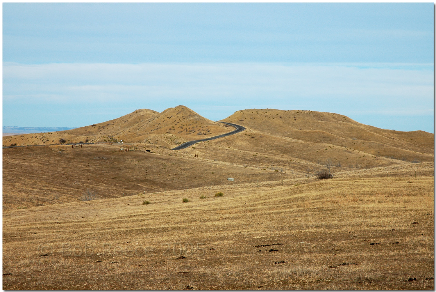
Here's what you believe that Camp chained out. Let's not get misled with it, your view is that what is there now is what Camp saw and discussed with his various informants. Obviously, there was no road and all that land was owned by the Crow's and leased to tribal members. There was no natural route over the bluff but one should assume that a trail ran straight over the ridge at the easiest height - the little dip. Here's a view of the engineering link - which sliced straight through the ridge end. The roadworks are shown in the earlier image I posted recently. The topography was altered in minor ways with todays terrain comparable to that of the 1910 era ridge and hills of a century ago. Has the terrain altered dramatically? No, a just a bit of the ridge where the little dip was deepened to fascilitate the road. How about matching up the cartridge and bullet find evidence to your terrain analysis? That should be fun. On the Custer Battlefield, there were thousands of witnesses to what happened and it is argued about to this day. I don't believe that anyone gives more than passing interest to to the seige terrain where the fighting has long been explained and researched. You have discovered where Walter M. Camp thought that Weir went to. Since we know that he was concerned for the whereabouts and situation of the HQ and five companies downriver it is safe to surmise that his hill had a view of that terrain. If the point of the exercise is to examine Camp's work then i'll simply state again that he made huge errors. Mistakes couched in 'Bingo' - I know it all and he did not. He started looking into stuff in 1908, as Curtis completed his work with the battle, and 17 years later had still not published his conclusions, although Hammer seems to have pulled them together. Of course, if Ford D theory is correct then Camp's work was entirely in vain and students of the battle have been entirely hoodwinked for98 years now. Custer went over the ridge. He did not stop to observe the terrain downriver. He halted in MTC. In terms of the Custer Fight, Weir's Peak and the ridge and entire horizon west from Reno Hill and southeast from Custer Hill, is entirely irrelevant until Weir and Company D rode past it and then rode back from it, to Reno Hill. If Reno Hill really can be called a hill. I think of it more as one of the luckiest disasters in history. So, what have we learnt about the battle? |
|
|
|
Post by herosrest on Aug 21, 2023 9:09:48 GMT -6
Start here... Thompson Black Hill Trails "We soon gained the top of the bluffs where a view of the surrounding country was obtained... About a half mile further on we came in sight of the Indian village...When the companies came in sight of the village they gave the regular charging yell..."
Goldin in a letter to Brady 1904 "As soon as this was discovered Custer rode over toward the river accompanied only by his orderly trumpeter, and
stopped for a moment on the top of a high pinnacle, where we saw him wave his hat, apparently in salutation to some one in the distance, and then come dashing back toward the head of the column.."
DeRudio RCOI "General Custer, Lieut. Cook and another man I could not recognize came to the highest point of the
bluff and waved their hats and made motions like they were cheering"
Martin After General Custer saw the village with no Indians in it I suppose he
was glad and he pulled off his hat and gave a cheer and said "Courage boys we will get them and as soon, as we get through we will go back to our station." kanipe “Knipe says that Custer was trotting and galloping along with companies in column of twos, all 5 companies abreast, the men cheering and eager for a fight and that after the highest point on the bluffs was reached the men,
through their eagerness, broke into something like disorder, as previously noted."WMRH With Tim McCoy "Custer and his brother went to the right of us and halted on a small hill. His troops were moving forward below him. Custer turned around as he reached the top of the hill and waved his hat, and the soldiers at the bottom of the hill waved their hats and shouted."Daniel Newell of M Troop "saw Custer's command on bluffs across river when Reno was fighting. He says at this time Custer must have been 1/2 or 3/4 miles north of where Reno was corraled,
on edge of bluff, where he could see river. Says he was going fast when he saw." Welcome to the reality! We are discussing DeRudio. Surely you can differentiate DeRudio's sighting from that of your sources. Otherwise, the valley fight was over in the blink of an eye and before it even started. Convince me, maybe i'll buy in. |
|
|
|
Post by johnson1941 on Aug 21, 2023 9:17:22 GMT -6
You are not even close!!! In fact I use period descriptions and maps etc. whenever possible, because THAT is what was there. I SOMETIMES use google to show distances better than scaling on say the 1891 USGS. Or like to show that Weir Hill is just over 1/2mile from Reno Hill, while Weir PEAKS is over a mile. Trying to see how high Weir Hill was is impossible on today’s map. As is trying to find the little dip on the ridge it made with SSH. Except in the period pictures of course. Roads, time, rivers. But we know thats the ridge Custer went over before turning right down the coulee (cedar), all the witnesses describe it.  So I have learned that you are either VERY confused - still, or trying to confuse others. Let’s hope it’s just the former. We also learned you give Camp VERY little credit. Not sure why, but you really hit him hard. Oh and re:”chained” Weir Peaks - Camp often used odometers carts. He mentions them plenty. Somehow he even got the distances between the peaks. (650’) Yep that last picture is the place!! YOU GOT IT!!! Though it was much higher in 1876 (see above)  Dont sell Camp short - he surveyed Custer's entire route! And lots of places around it. ANd he also went over the ground with primary witnesses like Curley. Hell of a guy, huh? |
|
|
|
Post by johnson1941 on Aug 21, 2023 9:19:28 GMT -6
Nope - I won't differentiate. Why?
They are all talking about the SAME event at the SAME location. They give good descriptions/locations that are easy to follow and locate.
Clearly you won't buy in - you have your theory, while they are all talking facts re:the same event at the same location. I even put the specifics in bold for you.
Custer on the high point, waving, cheering, seeing the village etc.
Do you really need these guys to baby-bird you?? JUST READ WHERE THEY ARE AND WHAT HAPPENED THERE. THIS ISN'T THAT HARD!!!
(Clue: “1/2 mile”)
How many times do you think Custer waved and cheered?!? - he was only on the bluffs like 1/2 mile or so. There was only 1 "highest point" and it was located right where DeRudio and EVERYONE else explain/confirm it was...even those who don't report seeing Custer up there. Even Camp!
|
|
|
|
Post by herosrest on Aug 21, 2023 9:42:14 GMT -6
We have HERE one of the battle history's confabulated misunderstandings where just 'cos a Sioux participant, or Cheyenne, or Ree, Crow, Ute, Mandan, Arapaho, was saying north - does not mean cardinal north or anywhere within 90° of it. As Walter Campbell (aka Stanley Vestal) queried on his 1030 White Bull sketch. north was being given as downriver, with south upriver. One obscure reason for this was the rising sun - yes, just maybe the IJN had a hand in LBH  kamikaze, and all that stuff. Try getting into various Dakota and terms for cardinal points. It is fraught with dynastic JREwings -  and creeks Custer was up, such as this official wampum showing Custer Ck. near the battlefield -  The road id long with many forks. Walter never fathomed that. His North Medicine Tail CK. was exceptional. Just 'cos he chained it out and scribbled some notes, doesn't make him correct. Although he beavered away and followed up as best he could in those snail mail times, a rising male chicken is not a hen. Nor does it lay eggs.... only hens. They lay the eggs after a lot of clucking and pecking. We had one, decades ago until I got fed up of being woken at unearthly hours and strangled the stupid thing. |
|
|
|
Post by herosrest on Aug 21, 2023 9:47:13 GMT -6
Nope - I won't differentiate. Why? They are all talking about the same event at the same location. They give good descriptions/locations that are easy to follow. Clearly you won't buy in - they are all talking about the same event at the same location. I even put the specifics in bold for you. Custer on the high point, waving, cheering, seeing the village etc. Do you really need these guys to baby-bird you?? JUST READ WHERE THEY ARE AND WHAT HAPPENED THERE. THIS ISN'T THAT HARD!!! LOL! How many times do you think Custer waved and cheered? - he was only on the bluffs like 1/2 mile or so. There was only 1 "highest point" and it was located right where DeRudio and EVERYONE else explain it was...even those who don't report seeing Custer up there. Even Camp! The point is that DeRudio did not see Custer waving his hat on the bluffs. The DeRudio sighting took place later. You are obviously bright enought to understand before and after, prequel and sequel, and thus are injecting an agenda which is superfluous falsity. You are pushing the Curtis agenda and on you go. Curtis had good reasons (being told) to stfu. On you go..... |
|
|
|
Post by johnson1941 on Aug 21, 2023 9:50:03 GMT -6
So YOU keep saying. Opinion and conjecture, and NOT confirmed by at least 6 others as DeR was, or anyone apparently. HIS Timing issue. Maybe, maybe not. His location and what happened? Spot on as he (and everyone else) describes it.
But he usually was. Easy to confirm distances and directions and altitudes using modern methods. ( I KNOW - 110 years later).
We do know his intervew maps were off. WHo marked them? But his decriptions usually make perfect sense.
What? Says who? STOP making stuff up! You KNOW I don't agree with Curtis (or what others who weren't there speculate anyway). No - I prefer to agree with the primary witnesses who were there.
AND POST WHAT THEY SAY. Sucks to have to explain them - that opens up to [conjecture], so I try to do very little of that. A lot of it is pretty obvious once you let go whatever pet theories and understand where they are.
You are pushing 1 agenda - the HEROREST agenda - opinion only, with NO BACKUP!! NO WITNESSES.
DO YOU HAVE ANY?? ANY AT ALL?
|
|
|
|
Post by herosrest on Aug 21, 2023 12:09:28 GMT -6
 You are AI. |
|
|
|
Post by herosrest on Aug 21, 2023 12:20:35 GMT -6
Here is terrain orientation link. The river runs south of the monument from east to west. It is wet. |
|
|
|
Post by herosrest on Aug 21, 2023 13:35:32 GMT -6
No problem. You know of course that road construction broadly wrecked the 1876 record of events and the topography.  Stricken Field, J. Greene. Most books about this history are.......... hmmmm, well.... obsessed. This one, is quite brilliant. I suspect that he was and so remains. Great book and probably a better title would have been levelling the field.... A travel route between the Custer and Benteen battlefields was surveyed in 1924 but right of Way approvals were not given until 1934, and settled during summer 1936. A rough road was run in 1930 and the dirt track paved into a two lane road with the jutting Weir Point skinned by road graders after WWII (I believe). This may work link, maybe not. Yup, worked. Lemon band - search hits. Personal note. The visitor centre and stone house, should never have been where they are and belong on Reno Ck. at the foot of the rise onto the heights. I do hope that a few of the ranngers get that message and start the ball rolling. Bill Hartung's place would be a great site to develop. I mean, the burial plots are now all taken at the NC and that is now simply requiring maintenance and not a forty year old design to upgrade what was a huge problem for thirty years is completely daft. Hasn't it gone Awfully quiet. And finally - NPS |
|
|
|
Post by herosrest on Aug 22, 2023 2:47:17 GMT -6
Fairs do's.
If you contemplate the route of march propositions over the bluff and examine Godfrey's idea, it can be argued that Custer was never in MTC, which was the point of Godfrey's whatever. With Godfrey, progress went deep to the north and onto the distant ridges pointed out by Gall and supported by Penwell, in the discovery of a faint trail. This is the 1920's idea imparted to Marquis by Cheyenne informants and illustrated on a handful of related maps. That is a wide sweep from north of SSH which sort of loops around MTC and progresses north in various designs. Godfrey was basically a Ford D guy who knew nothing about Ford D. That would be because Ford D didn'y happen but of course modern study knows no bounds and is a work of art.
Regards.
I would suggest that before entertaining what the contestants got up to, that you contemplate and define your big villag of villages, location and approximate size. This impinges upon everything actual and all subsequent supposition to date. I once accepted the thing stretching all the way downriver to Deep Ravine and realised eventually that that was not so. That size of camp is still accepted by some students today and affects all thinking about what happened and particularly the idea of the wide left hook onto Battle Ridge by crossing the lower fords.
To my mind, it is basic fare, and values all the different models, histories and theses which have been delivered since 1876. Godfrey is a good example in his map. His village is huge in stretching to Deep Ravine but that site was the result of succesive camps, with the move taking place after the Custer battle concluded. It's highly relevant in many ways and few present with the aftermath realised that the camp had moved downriver. One of those was Freeeman. Of course it also suited some that the camp was understood to be immense in explaining away a defeat.
|
|


 kamikaze, and all that stuff.


