|
|
Post by bc on Nov 12, 2007 20:18:18 GMT -6
Montana, I never turn down a hug from a girl. Thanks everyone for the river flowing directions. I thought up the LBH was south but it needed clarification. I know the rivers here is KS and whenever a reports mentions up or down the the Smoky Hill River, I can figure it out.
It begs the question though, If Custer was caught up the creek without a paddle, which direction was he going?
For the North Carolinians, Montana and Harps, I have an historical update for you but my source book is at the office and I didn't go in today cause of the so called holiday. So I will let you know tomorrow. I didn't march in the veterans day color guard this year. The feds are honoring veterans day as today on Monday so they can take off from work, our local vfw and legion guys decided to do the parade on Saturday for "convenience sake", but to me there is nothing more sacred than the 11th month, the 11th day, and the 11th hour. I did too many color guards in the parade on the real veterans day through rain, sleet, snow, & cold to have them change the day for convenience sake.
|
|
|
|
Post by fred on Nov 13, 2007 6:32:45 GMT -6
... to me there is nothing more sacred than the 11th month, the 11th day, and the 11th hour.... Agreed. Besy wishes, Fred. |
|
|
|
Post by Treasuredude on Nov 13, 2007 8:00:24 GMT -6
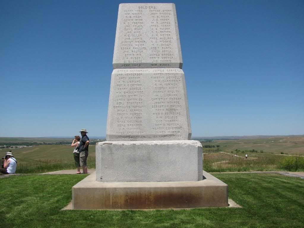
There's an image from this past summer's trip that I won't soon forget. Fred pouring over this giant topo map spread out on the hood of one of the Fox brother's vehicles. The LBH bookstore does still sell the McElfresh map. I bought one for $9.95. Like Fred said, you can also order directly from the McElfresh company's website... www.mcelfreshmap.com/Scott |
|
|
|
Post by fred on Nov 13, 2007 9:03:47 GMT -6
Ahem... ... you mean... ? Best wishes, Fred.
|
|
|
|
Post by clw on Nov 13, 2007 9:19:34 GMT -6
The McElfresh map is great and mine is a dear friend. But....... I spent months thinking the Crow's Nest was 15 miles EAST of the river simply because it said so. As a result I could never make any sense of the column's approach. When I finally figured it out I felt like a total idiot.
DimWit #2
|
|
|
|
Post by fred on Nov 13, 2007 9:35:34 GMT -6
"clw"--
Actually, the divide is 11.81 miles east of the LBH, and the Crow's Nest is just back from the divide. I think the figure 15 miles is to the Indian village itself. Don't get confused by that "15 mile" figure, because when you are computing times and distances versus events, that additional 3+ miles could be significant.
And "clw," please, once again, don't feel foolish with this stuff. Guys like me fling it around like it is second nature, but that's only because we have spent much of our lives doing it, i.e., reading maps, traipsing through hill and dale, etc. Proper map reading isn't that easy. Same thing with the river business. Heck, it wasn't until two years ago when I was sure the "divide" they all referred to in their books-- the LBH-Rosebud divide-- wasn't the same thing as the Continental Divide. I had never heard of a ridgeline referred to as "the divide." I sheepishly went through all my notes deleting any reference to "Continental." [That ought to give some ammunition away, right?]
I am also sure you have forgotten more about Indians than I shall ever know, so... one hand washes the other.
Best wishes,
Fred.
|
|
|
|
Post by bc on Nov 13, 2007 10:08:43 GMT -6
Fred, for clarification again.
Are the 11.81 miles and the 15 miles figures point to point measurements/crow flight measurements from a map or are they NOE(nap of the earth) terrain-following miles going up ridges and down coolees, curving around hills, following the creek, etc.? Thanks It makes a difference for the time and distance and terrain horses must have traversed that day. Going up and down on a horse is also slower than riding on flat terrain.
|
|
|
|
Post by clw on Nov 13, 2007 10:12:38 GMT -6
Fred, let me rephrase that. Yes Crow's Nest is east of the river, but the map shows it on the wrong side of Ash Creek. That's what drove me bats. And I just knew the map had to be right, it being so pretty and all.  PS Figuring out what a 'divide' was took me a while too. But I never did assume it was the Continental Divide. Now I feel much smarter. ;D ;D |
|
|
|
Post by fred on Nov 13, 2007 10:55:44 GMT -6
"bc"--
I figured the 11.81 miles on a straight line distance-- using the topo maps-- from the crossing point on the divide to the old LBH crossing at Ford A. I emphasize "old" because the ford Reno crossed is no longer there-- the channel has changed. The topographical map I told you about shows an old, dried-up channel that I take to be the crossing point. I was there in June of this year and it appears that I am correct about that.
The "15 miles" is a figure I have read in several books and I believe it refers to the distance from the village to the divide or the Crow's Nest.
"clw"--
Where do you see the Crow's Nest on the McElfresh map? Unless we are talking about two different things here, the Crow's Nest is east of the divide and Ash Creek, aka Reno Creek, is west of the divide.
Best wishes,
Fred.
|
|
|
|
Post by clw on Nov 13, 2007 11:34:11 GMT -6
Fred, I'm confused again. If this location is correct........  then the McElfresh map is wrong because it shows it on the other side of the creeks. |
|
|
|
Post by clw on Nov 13, 2007 11:59:13 GMT -6
Little Sister: Distances and directions can be very misleading when researching these events, since not everyone used the same references, hence the NAs often talk about something being oriented east-west, whereas the Anglos might say it was north-south, and it really might be somewhere in between. Battle Ridge is a good example. The Little Bighorn River, for another example, does not run north-south except in general terms. When it passes along the valley below the "Reno" bluffs and Custer field, it runs in a southeast-northwest direction [when it isn't doubling back on itself or going in another direction]. You can go nuts trying to figure out what someone was really talking about when he said "east" not to mention "hill" or "gully.".......................... Ain't it the truth? If you only knew how many times I pivoted maps and tried to read them upside down to follow an account when I first started really studying this battle (one year ago next month) you'd have a whole new definition of 'dizzy blonde'. |
|
|
|
Post by fred on Nov 13, 2007 11:59:22 GMT -6
"clw"--
Whatever it is you posted here-- that map-- while very, very basic, is correct. And unless you have a completely different McElfresh map than the one I have, the Crow's Nest is not on it. I am going to try an experiment and see how it works out. Hold these thoughts...
Best wishes,
Fred.
|
|
|
|
Post by clw on Nov 13, 2007 12:03:39 GMT -6
You're right, it's not on there. But there is an arrow that says "to the Crow's Nest, 15 miles."
|
|
|
|
Post by fred on Nov 13, 2007 12:17:25 GMT -6
Okay... let's see how these work...  Not too bad. Now... look at grid square 28 in the upper left portion of the map. That's where the divide crossing took place. You will see parallel dashed lines going across the square. That is the existing trail and the Camp Marker is on it below that terrain feature marked "4000" in the square's northeast quadrant and the other terrain feature just below it. The "4000" feature (it looks like it has a tail coming off its left side) is just below what Vern Smalley says is "Varnum's Lookout." All three of those features form high points on the divide. Now... go to grid square 34, diagonally below and to the right. That prominent feature in the square's NW quadrant is the Crow's Nest hill. It almost looks like the Lone Ranger's mask... got it? Now... head a smidgen up and right of that "mask" and you will see what appears to be almost an arrow point aimed at the "mask" (it comes right off the top line of the grid. That's the actual Crow's Nest or the Crow's Nest pocket. You will also see Davis Creek running through squares 28 and 27, and you will see the headwaters of Reno/Ash Creek in squares 32 and 29. (Incidentally, the orientation is standard: north on top, east to the right, and so forth.) Best wishes, Fred. |
|
|
|
Post by clw on Nov 13, 2007 13:51:23 GMT -6
Yes I see it perfectly. Thanks for that. I've ordered a map of the Rosebud Quadrangle so I can follow the approach better and that will orient me and get me started.
And it confirms (at least to me) that the arrow pointing to the Crow's Nest on the McElfresh isn't right.
|
|


 "If there are no dogs in Heaven, then when I die I want to go where they